The boundary changes the first questions
A property may sit in the Core, Buffer or beyond the World Heritage Site within a short distance. Confirm the exact lot before using a zone label in pricing or marketing.
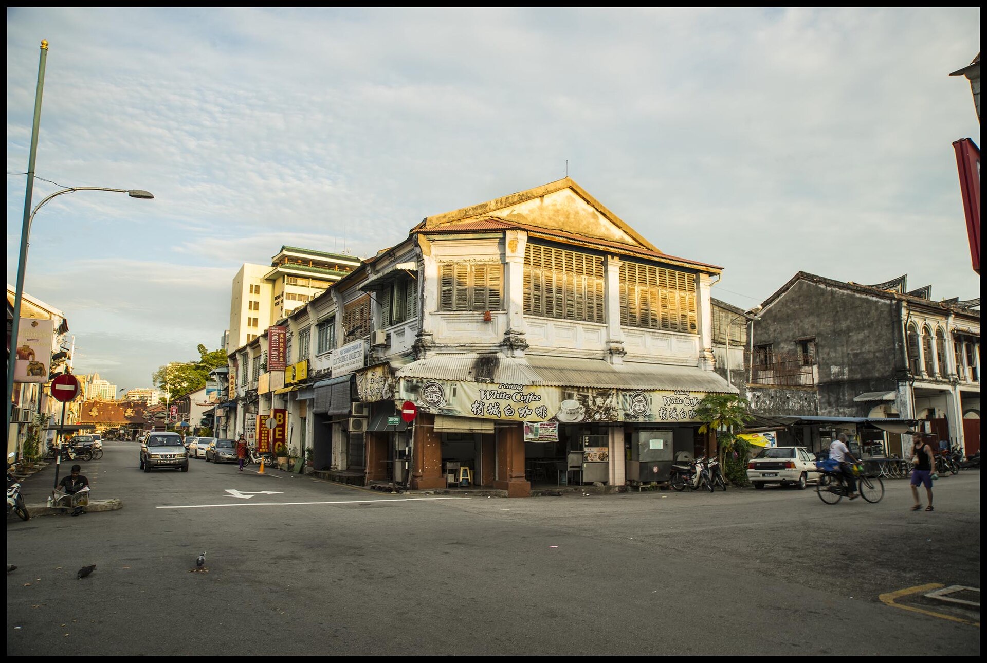
GEORGE TOWN DISTRICT GUIDE
The southern edge sits between the historic street grid, Prangin Road and the city beyond. Exact zone, road access, parking and present use become especially important here.
Prangin Road · Carnarvon Street · Malay Street · Victoria StreetA property may sit in the Core, Buffer or beyond the World Heritage Site within a short distance. Confirm the exact lot before using a zone label in pricing or marketing.
Wider roads can improve visibility and vehicle access while adding noise, crossing difficulty and different servicing patterns. Visit on a normal weekday.
Buildings outside the UNESCO boundary may still have heritage interest or appear in other inventories. Status and controls must be checked building by building.
The southern edge can suit trade, workshops, value-led commercial use or buyers looking beyond the most photographed streets—when title, use and condition are clear.
READ THIS DISTRICT
A short walk can move from the Core Zone to Buffer Zone and beyond. Check the exact lot on the authoritative map first, then compare the building and street instead of using a broad heritage label in the asking price.
Vehicle access and visibility can improve near the city edge, while noise, pedestrian crossing and frontage heat may increase. For workshops or practical commercial use, loading and rear access may matter more than tourist footfall.
Compare Prangin Road, Carnarvon Street and southern George Town heritage properties by exact zone, road access, parking, use and condition. Compare Heritage beyond the UNESCO zones with What the city plan means, then return to the actual address, tenancy, access and condition.
MATCH THE DISTRICT TO THE PLAN